

Hurricane Helene: Why Atlanta saw flooding rain but minimal winds
ATLANTA - While most of the Atlanta metro and surrounding areas experienced significant flooding from heavy rainfall, the city saw relatively little of the tropical storm-force winds that many expected from Hurricane Helene. This is because of the unique path the storm took as it moved inland and the positioning of the Atlanta metro area relative to the storm's center.

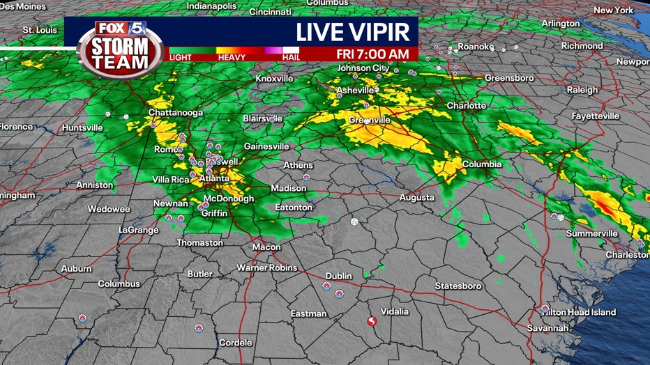
Helene made landfall near Perry, Florida, at 11:10 p.m. on Thursday night as a powerful Category 4 storm. By 8 a.m. on Friday, its center moved over Bowman, Georgia, about 84 miles east of Atlanta, having weakened to a tropical storm. The key to understanding Atlanta's experience lies in the fact that the storm’s eye shifted eastward, placing the metro area on the "left side" of the storm as it moved northward.
The importance of the storm's ‘dirty’ side
In the Northern Hemisphere, tropical cyclones like hurricanes rotate counterclockwise. This means the strongest winds, storm surge, and severe weather typically occur on the right side of the storm’s eye, often referred to as the "dirty" side. The right-front quadrant of a storm is where maximum sustained winds are intensified by atmospheric steering currents, which contribute to higher winds, waves, and the potential for tornadoes. The National Weather Service notes that most tornadoes embedded in a hurricane’s rain bands form in this quadrant.
While Florida’s Big Bend region, southeast Georgia, and parts of the Carolinas endured these stronger winds and tornado threats, Atlanta found itself on the left side of the storm—the weaker, "clean" side. This positioning meant that, while heavy rain fell across the metro area, the wind impact was much less severe.
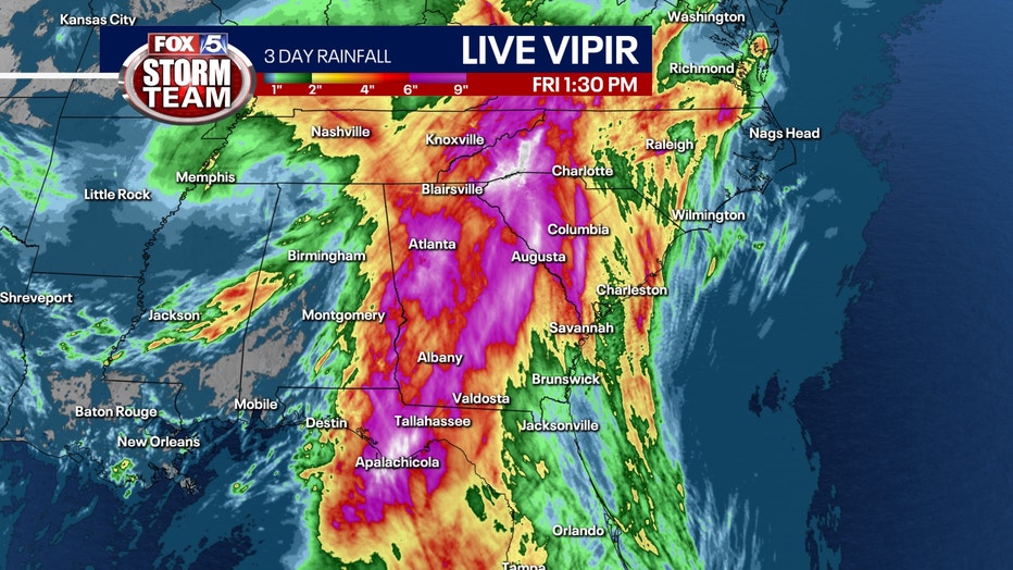
Flooding exacerbated by pre-Helene rainfall
Atlanta’s flood situation was worsened by two days of rain on Wednesday and Thursday, before Helene even arrived. This pre-storm rainfall saturated the ground and swelled rivers and creeks, priming the region for flooding when Helene’s additional rain moved in. The slow-moving nature of the storm added to the issue, as heavy rainfall continued to fall over already saturated areas.
Helene’s Path Beyond Georgia
After passing through Georgia, Helene continued its northward trek, moving into Clay County, North Carolina, before eventually reaching Tennessee and Kentucky as it veered to the northwest. The storm’s weakening as it moved inland spared these areas from experiencing the kind of devastation seen in Florida and along the Southeast coast, and Blue Ridge mountains, though they, too, faced flooding concerns.
Other Atlantic storm activity
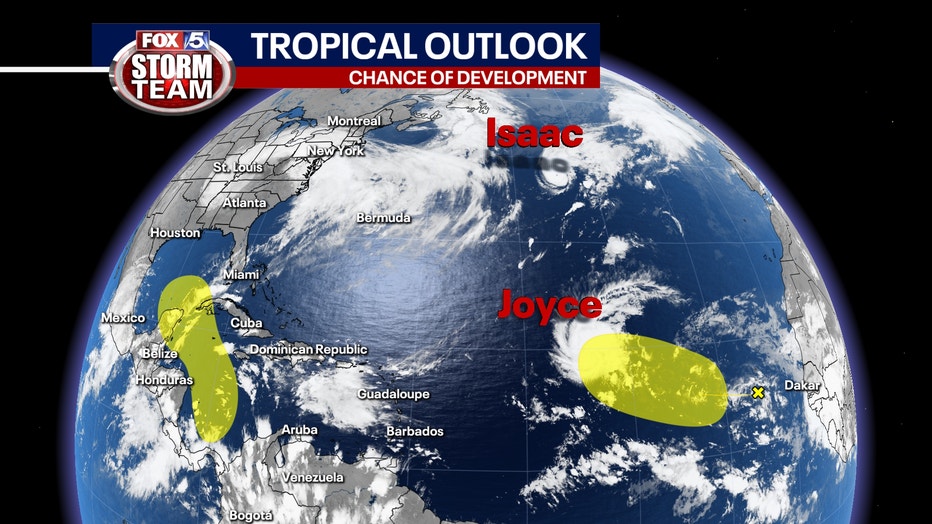
While much of the attention was on Helene, the Atlantic hurricane season remained active. Two additional storms—Joyce and Isaac—formed in the open waters of the Atlantic Basin. However, as of now, neither is expected to impact the U.S. East Coast.